


Through digitization, various companies globally work to improve the processes of transport fleets and increase the safety of all vehicles. Geotab, a leading Canadian company, is one of the most experienced software providers in the aforementioned areas.
The sustainable mobility summit organized by Latam Mobility in mid-June served as a space for various actors in the sector to present their progress and future plans, always focusing on reducing CO2 emissions and customer compliance.
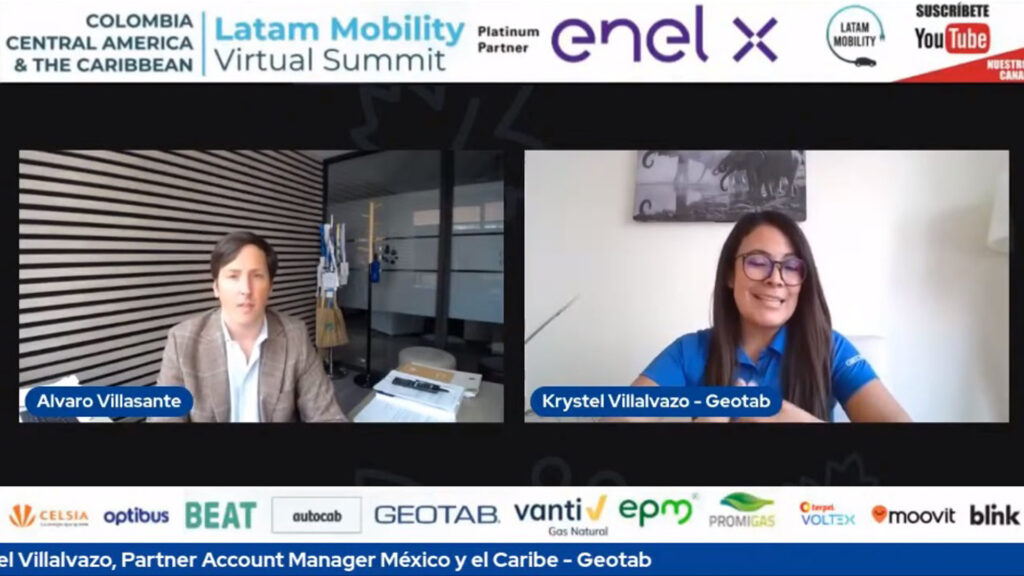
Among these protagonists, Krystel Villalvazo, Geotab Partner Account Manager for Mexico and the Caribbean, talked about said company and all that it contributes to the Latin American market aimed at businesses and vehicles.
Geotab has more than 20 two decades in the market with just over 7 years in Mexico and the Caribbean, in charge of offering security solutions and data information so that its clients have the power and comfort to manage their fleets in the best way possible.
By having a presence in several countries in the region, Geotab becomes a kind of “local company” that provides complete visibility that customers need to know with a quick response time.
Geotab operates through platforms that manage to connect to the technological systems of vehicles, regardless of what it is (large, small, cargo, private) to provide precise information on how to act in the face of various situations that may arise, in addition to offering high safety standards.
For example, at the business level, you can interpret the data through analysis to indicate the path of the fleets, so that the journey is efficient, short and fast, optimizing the use of the energy source and ensuring above all the safety of the fleet. driver.
This process is ideal for companies, as it helps to make important decisions based on data thanks to a telematics device with measurable standards to reduce, something that any entrepreneur is looking for in current times.
“We connect to the vehicles and obtain information, whatever the type of vehicle or the business, regardless of the year,” said Villalvazo.
On the other hand, by having Geotab’s presence in the Caribbean, response times to natural emergencies, (something that this area of the planet suffers from), can be efficiently reduced in order to resolve any eventuality as quickly as possible.
“In addition to GPS, Geotab devices have an accelerometer and a gyroscope that inform us of the sudden movements that the vehicle may suffer as a result of an external force.” In the event of a delicate emergency, we know where the front line response teams, police, hospitals, health services are located, being a great advantage to be one step ahead ”.
There is no doubt about the potential that Geotab has in the world, so much so that today they have more than two million vehicles connected organically, being a fundamental part in the development of companies, increased productivity and efficiency, without leaving aside from strengthening the safety of drivers.